Is MapToNap's figure-ground plan free?
Yes. It is one of the four free drawings, with a watermark and no sign-up.
Plan shops sell hand-cleaned figure-ground and site plans for a catalogue of cities, as PDF, DXF or DWG. MapToNap generates a figure-ground drawing, and 91 other analyses, for any address covered by OpenStreetMap. This page is written by the MapToNap team. We compare kinds of tool rather than named products, and describe each by what it does best.
| Figure-ground plan shops | MapToNap | |
|---|---|---|
| Core job | A catalogue of ready-drawn city plans | Plans generated for the address you choose |
| Coverage | The cities in the catalogue | Any place mapped in OpenStreetMap |
| Formats | PDF, DXF, often DWG | Editable SVG, vector PDF, PNG |
| Beyond figure-ground | Sometimes site or contour plans | Streets, land use, green and water, sun, wind, noise, walking, urban growth and more |
| Typical pricing | A few euros to tens of euros per city plan; bundles | Four drawings free (watermarked, no sign-up); Pro €7.99 or Max €12.99 for 30 days, Max for a year €49. One-off passes, nothing renews. |
Checked 25 October 2026. The left column describes what tools of this kind typically offer; individual products differ, so check the one you are considering. Features and prices change.
Each plan is centred on the address you choose and drawn from the current map data.
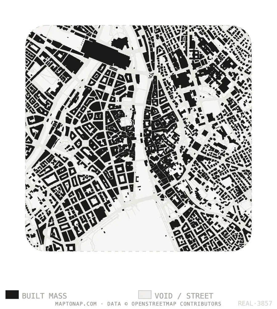
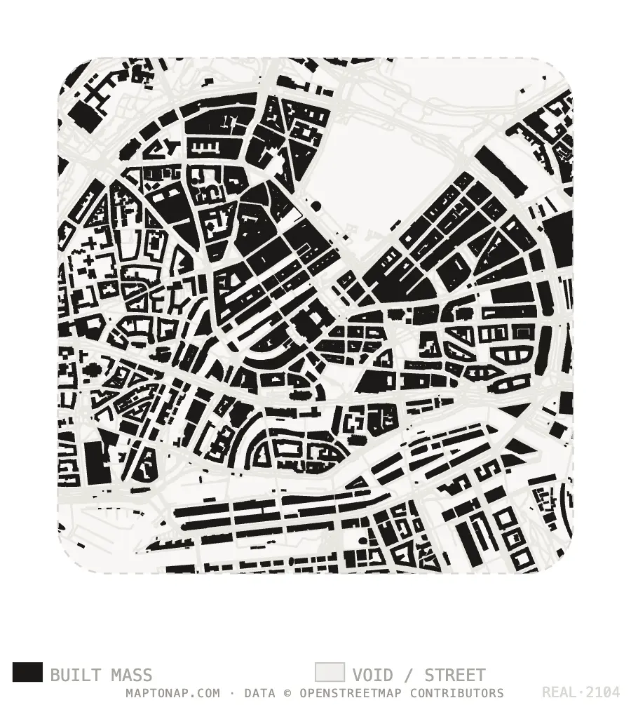
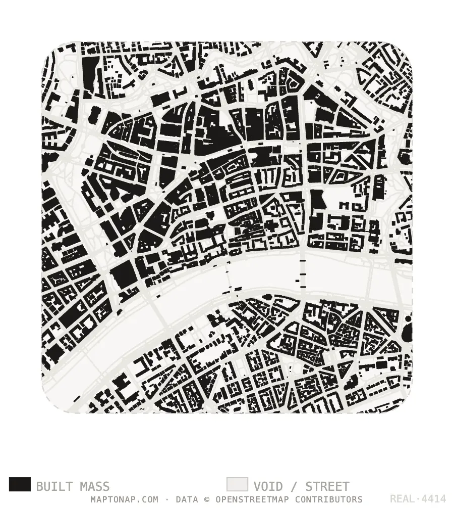
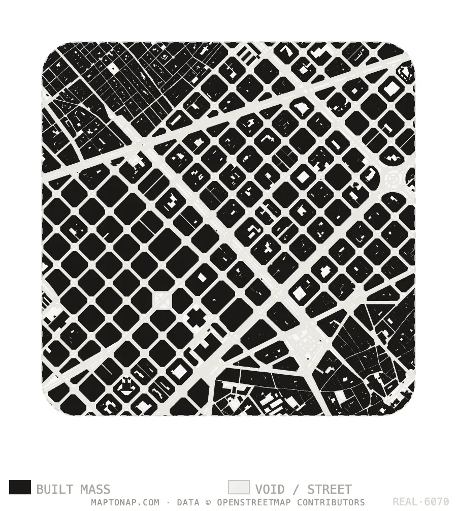
Map data © OpenStreetMap contributors, ODbL. Images are drawings generated in MapToNap.
Your city is in the catalogue, you need DWG, and you want a whole-city plan cleaned by hand.
Your site is not in a catalogue, you need the plan centred on your plot, or you need more than figure-ground.
One bought plan costs about the same as a MapToNap Pro pass, which covers 45 analyses for 30 days.
A whole-city plan for the location drawing; MapToNap for the plot scale.
Both usually start from OpenStreetMap.
DWG from a shop, SVG or PDF from MapToNap: all editable.
Yes. It is one of the four free drawings, with a watermark and no sign-up.
No: SVG, PDF and PNG for sheets; 3DM, OBJ and GLB for the 3D model. SVG and PDF import into most CAD programs.
Both depend on OpenStreetMap. Hand cleaning helps where mapping is messy; MapToNap draws the current mapping automatically.
MapToNap is built for a site and its surroundings, up to a 3 km radius.