
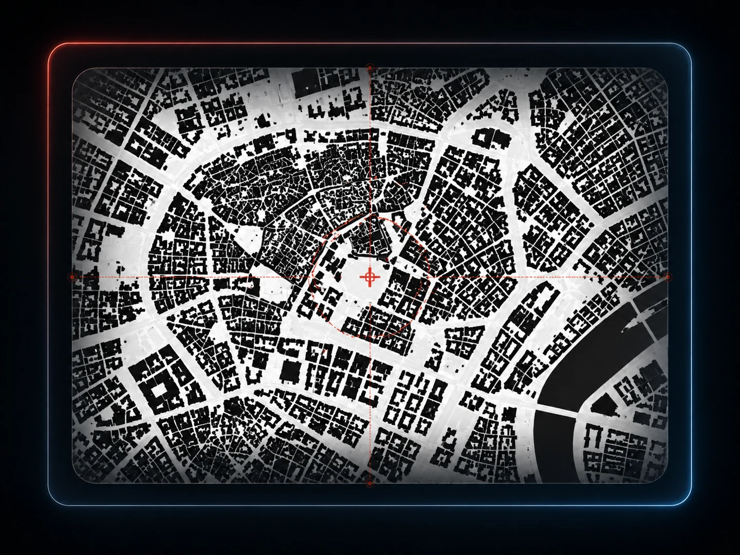
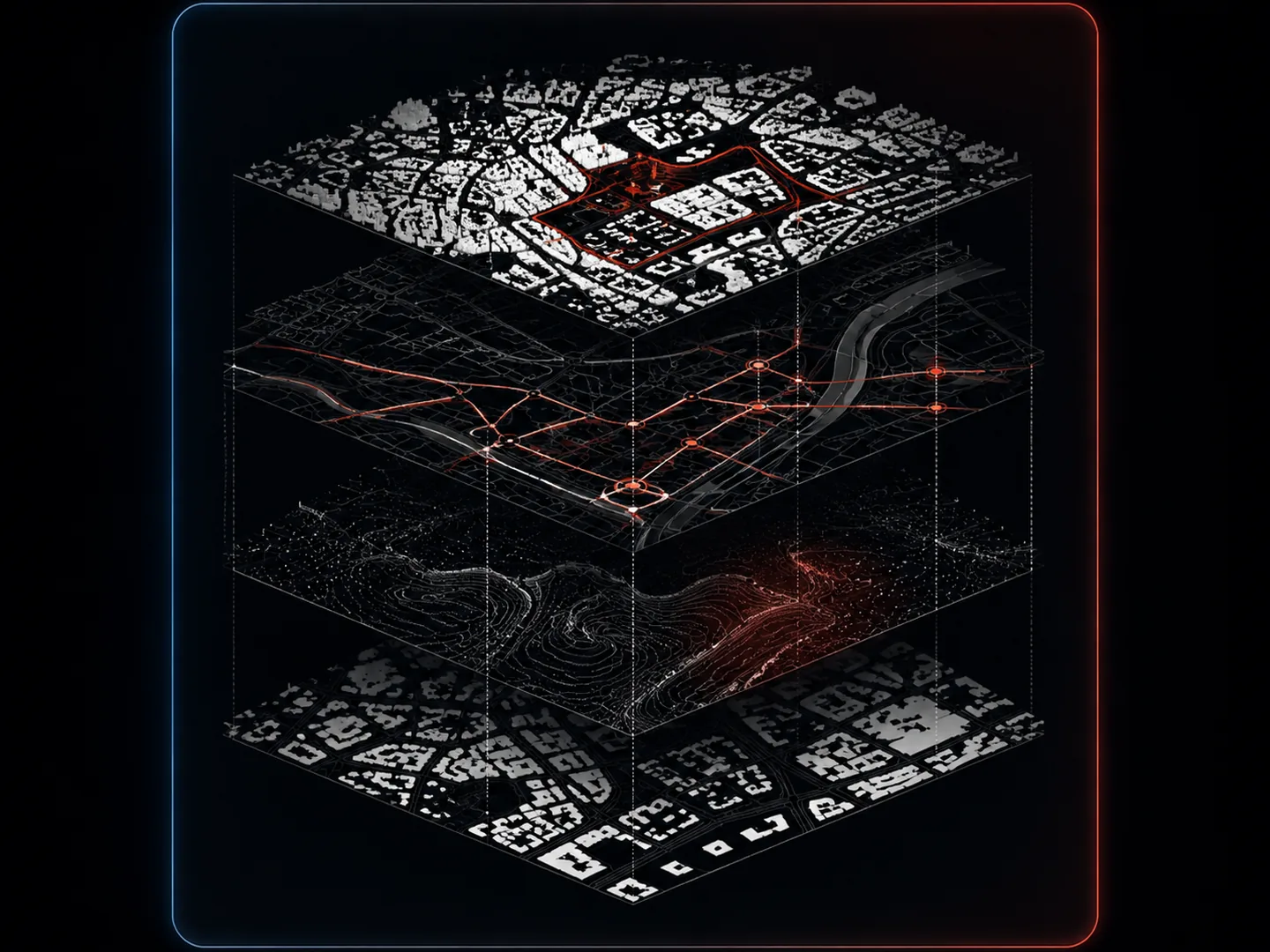
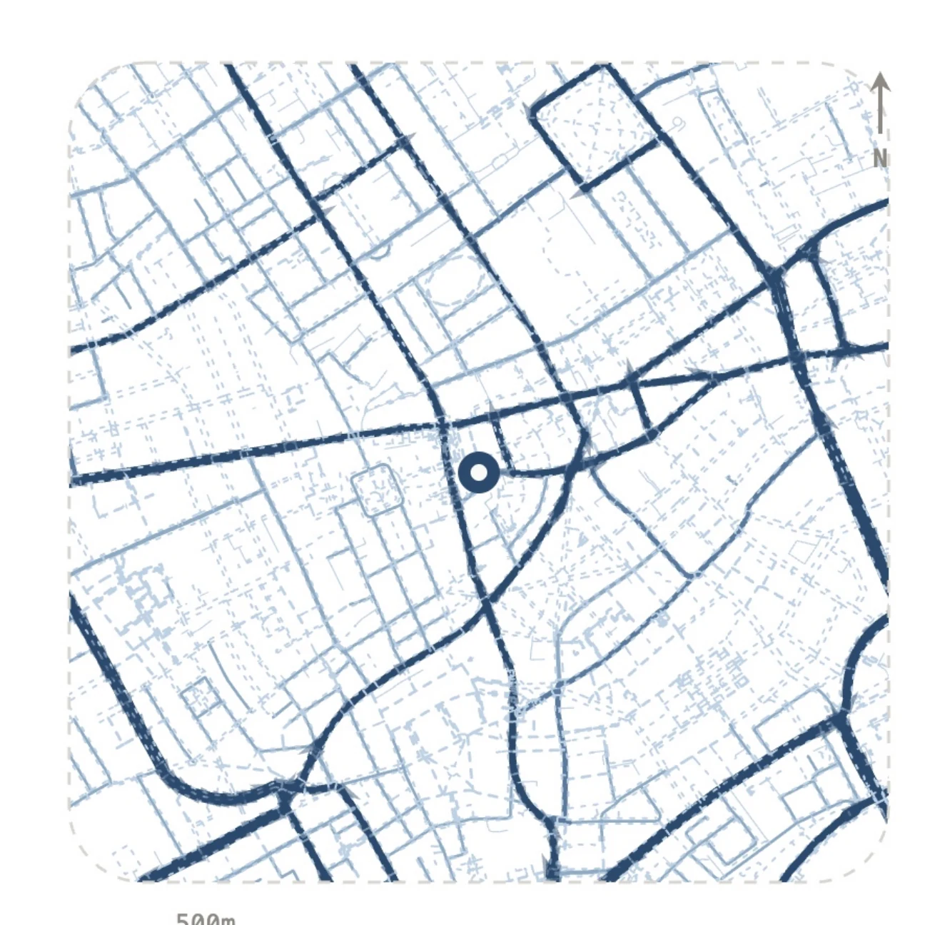
L04Street network2 418 segments
L03Building fabric2 607 footprints
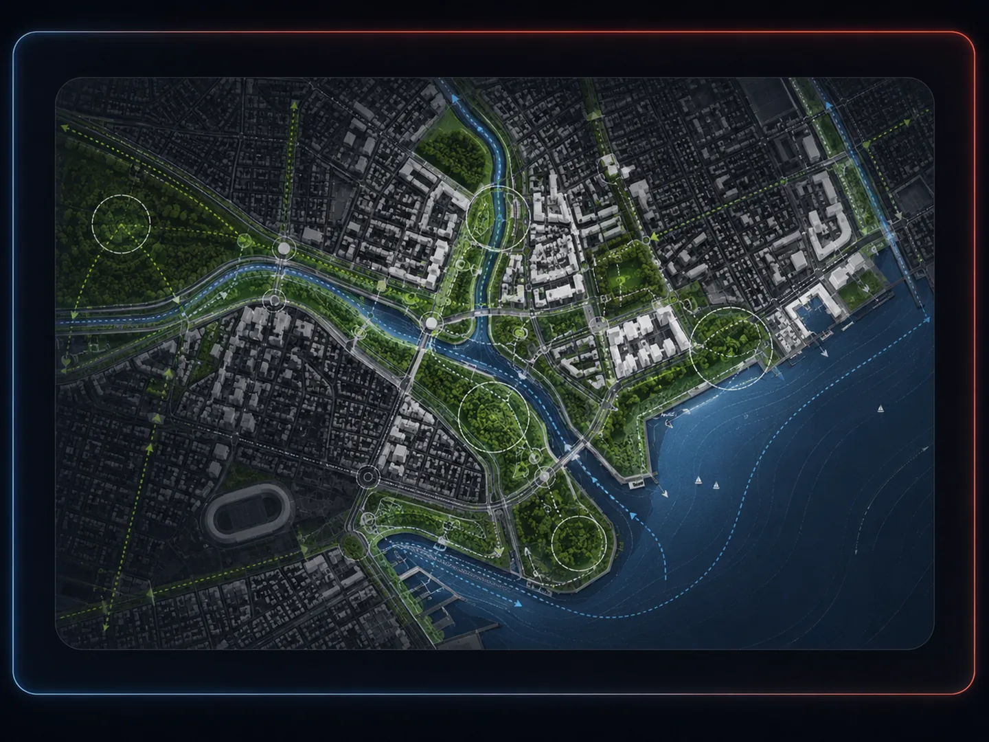
L02Green & waterpark · river · quay
L01Land use388 blocks
L05Site & radius100 / 250 / 500 m
01 / ROADSStreet network
02 / FABRICBuilding fabric
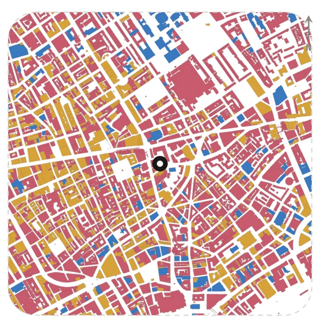
03 / LANDUSELand use
04 / GREEN + WATERBlue & green space
01 — One address in
Five drawings out.
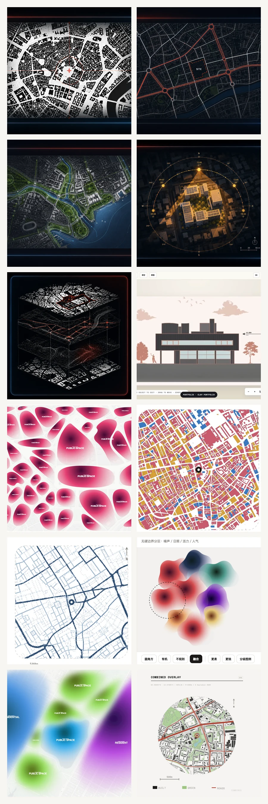
Keep scrolling — every layer is its own drawing
01–04 · exactly what the free trial returns, for any address on earth
Try for free↗
MapToNap — architecture site analysis & diagrams
One click. 50+ diagrams.
Architecture diagrams from real maps.
Map in a second, nap for the rest.
Not AI-generated.
12 tools · 4 Pro diagrams free, watermarked · no signup
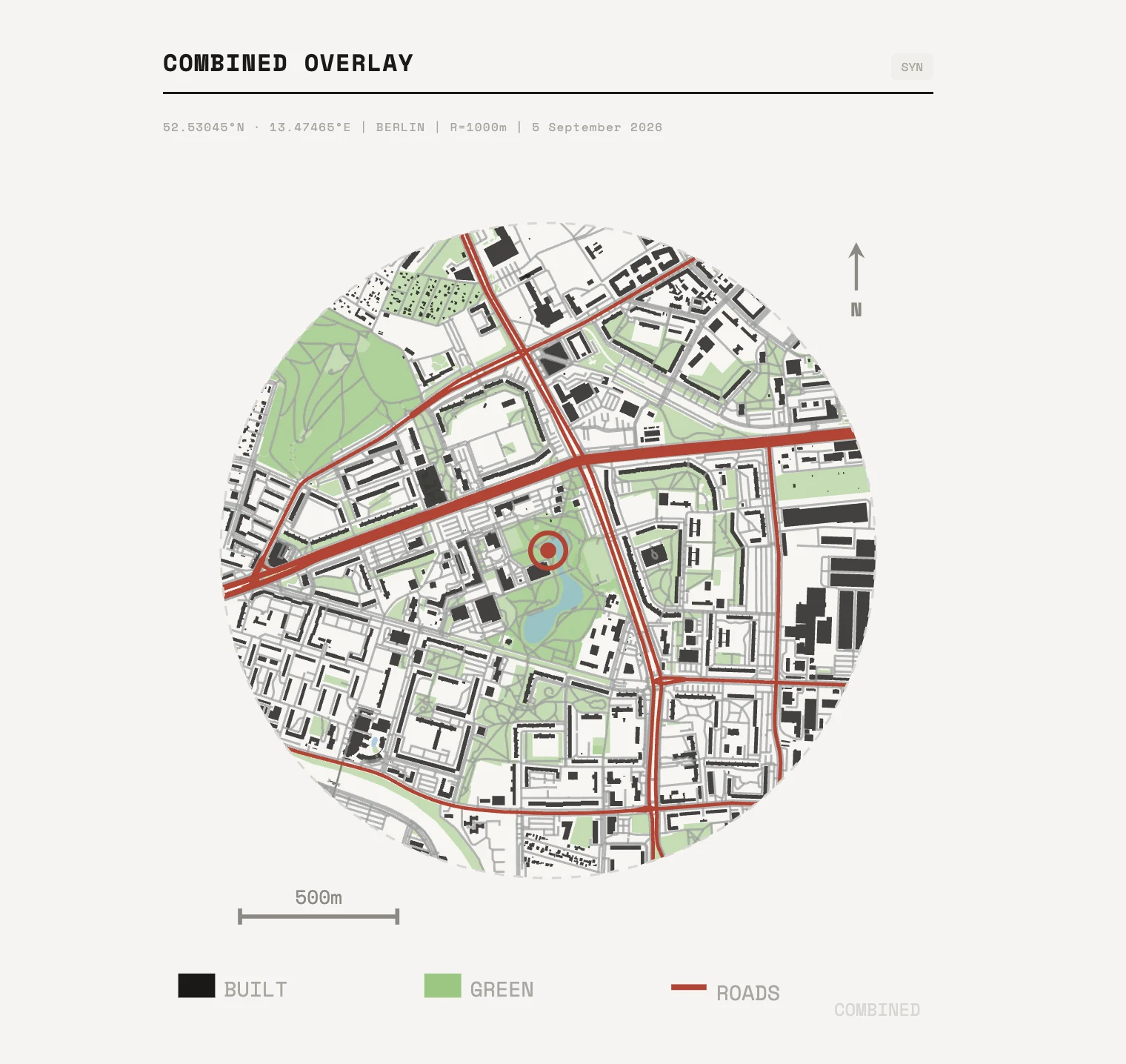
Layers: roads · fabric · land use · green & water · site
Scroll to see it drawn
02
The same drawing,
now editable.
That recording is the workspace itself, not a mockup: real map data in, editable geometry out. Change a colour, move a zone, redraw a boundary — the drawing stays yours all the way to export.
- Real OpenStreetMap data
- PNG · SVG · PDF · DXF*
- Runs in the browser
Real geometry · no prompts · no diffusion

Why the number
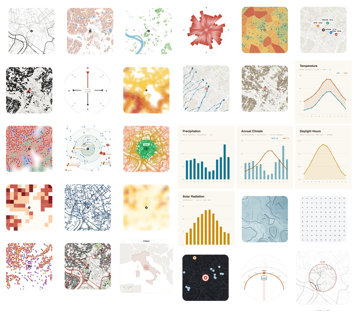
Every tool ships a family of diagrams.
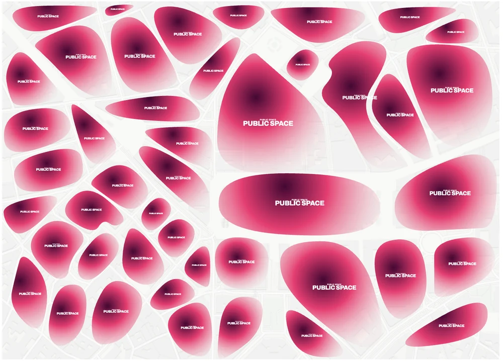
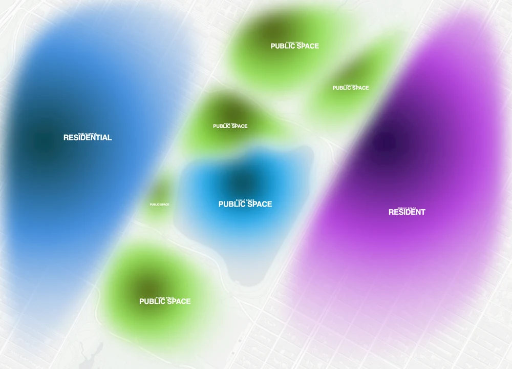
Roads, land use, wind, massing, sun, density, isochrones, greenery, noise, public space — each with its own palette, legend and export. Twelve tools, one project.
All of it from one address. None of it generated.
03
From reading a site to a finished board.
MapToNap Max · four real outputs · not AI-generated
The long roll
Twelve tools, one project.
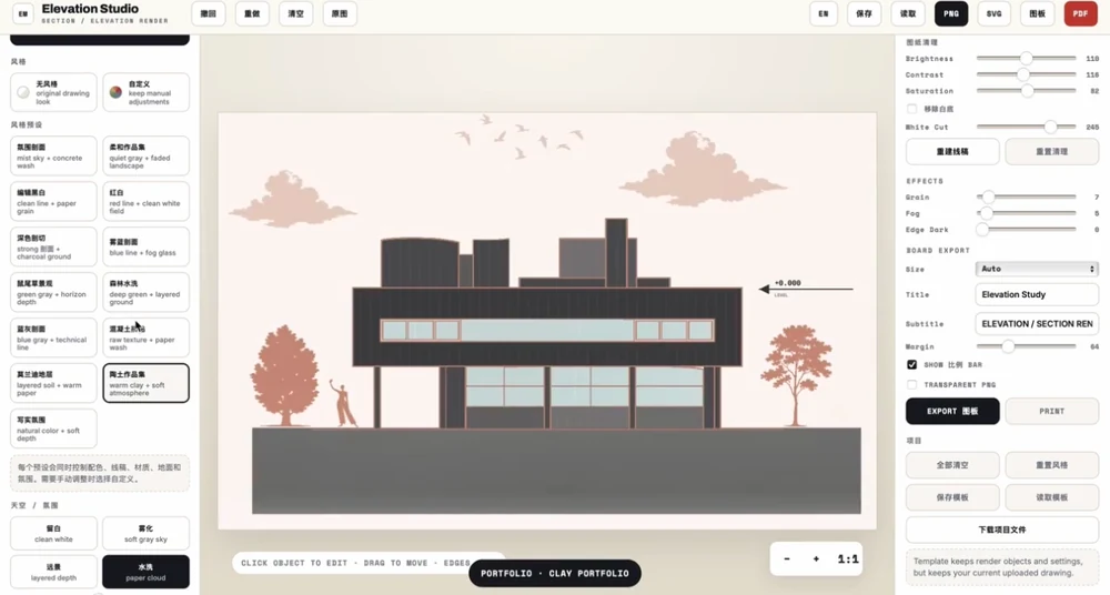
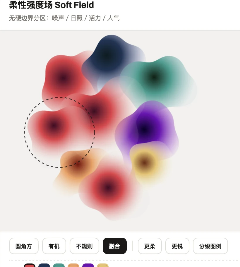
Every drawing below was made in MapToNap and stays editable after export.
04
One project.
Twelve ways in.
Try the site analysis for free. Pro covers analysis. Max opens the complete studio, one time.
01
Site analysis
2D diagrams · watermarked trial
PRO 02Site concept
Zones & design intent
MAX 03Site strategy
Explain your decisions
MAX 04Flow diagrams
Movement & circulation
MAX 05Bubble diagrams
Spaces & relationships
MAX 06Concept lab
Fields & graphic studies
MAX 07Masterplan
Programs & zoning
MAX 08Floorplan / AXO
Plans & building volumes
MAX 09Plan render
Materials & atmosphere
MAX 10Elevation / section
Render & entourage
MAX 11Parti studio
Explore the massing
MAX 12Portfolio layout
Compose the final board
MAX05
Buy it once.
Keep the studio.
No subscription. Projects stay in your browser, exports stay yours.
Max€12.99
All twelve tools, unwatermarked exports, 3D building context.
Pro€7.99
Site analysis only, unwatermarked.
TrialFree
4 Pro diagrams with watermarks. No signup.
06
Pass it on / MapToNap rewards
Three keys.
Three hours.
Let three friends try a real site. When all three qualify, three hours of Max unlock for you.
Your first qualified friend also unlocks 3 unwatermarked exports. Each reward is available once.
07
No prompts.
All control.
Built for the way architects actually work.
No. Your diagrams are built from maps, data, rules and editable geometry. You can adjust the composition, colors and relationships yourself.
Depending on the tool and plan, export PNG, SVG or PDF, with DXF in supported tools. Check the export menu for available options.
Projects are stored locally in this browser. Export a project backup before clearing browser data or moving to another device.
No. Open MapToNap in a modern browser. A desktop or laptop gives you more room for detailed drawing and editing.