Home / 3D city model download
3D city model download

Download the part of the city your project actually needs

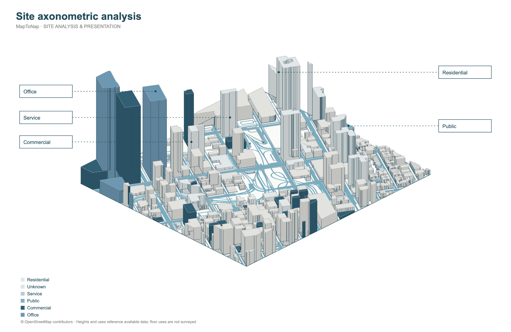
Instead of downloading a huge city dataset and trimming it later, choose the site first. MapToNap builds a focused architectural context model around that selection and exports Rhino 3DM, OBJ or GLB.
Select the exact area3DM · OBJ · GLBUp to 4 km² export
Focused downloadable 3D city context model for architecture
What the download can include

A compact context model, not a whole GIS database

Urban massing

Building footprints and available heights become 3D context. Missing heights may be estimated.

Ground and landscape

Add terrain, water, green areas and low-poly trees when those layers matter to the project.

Movement structure

Keep roads and paths visible so the model still reads as a city rather than a pile of isolated blocks.

Download workflow

Choose, inspect, export

Choose the location

Search an address or place.

Choose the model area

Draw a rectangle or circle around the useful project context.

Generate and export

Inspect the model in the browser, then export 3DM, OBJ or GLB.

When to use it

Built for context, not surveying

Architecture competitions

Create a surrounding city base quickly when the proposal matters more than rebuilding context.

Studio projects

Use the same site for 92 analysis diagrams and the 3D model.

Early office studies

Get a fast massing and landscape reference before commissioning or importing more precise project data.

Guide

How to use a downloaded city model

  1. Pick the format for your software. Rhino 3DM opens directly in Rhino with layers; OBJ imports into SketchUp, Blender, 3ds Max and most others; GLB suits web viewers, Blender and game engines.
  2. Keep the local origin. The model is placed around a local origin near the site, which avoids the precision problems of large world coordinates. Place your design relative to it.
  3. Check the heights. Buildings without mapped heights get estimated ones. For the buildings next to your site, check against photos or a survey before using the model for shadows or views.
  4. Simplify for renders. Context reads best as plain massing in one material, with your project in colour or detail.
  5. Use the same site for the 2D set. The 92 site analysis diagrams are drawn for the same location, so the drawings and the model match.
Frequently asked questions

What to know before you export

Can I download a 3D model for any city?

You can search locations worldwide, but model completeness depends on the available map and elevation data in that area.

Which file formats are available?

Rhino 3DM, OBJ and GLB.

Can I download an entire metropolitan area?

Not from the current 3D exporter. The supported export area is up to 4 km², which is intended for architectural site context rather than whole-region GIS delivery.

Does the download include textures?

No. The export is geometry-based architectural context, not a photogrammetric textured city model.

Is it suitable for survey or construction coordinates?

No. It is a design-context model with a local origin, and some heights may be estimated.

Related workflows

Keep working from the same site